
Welcome to GEOVIBE
In an increasingly unpredictable world, making the most of location information within data is an essential business capability for most if not all organizations.
GEOVIBE empowers government and private institutions to understand the changing society they serve, by combining advanced spatial data solutions and emerging technologies.

Our Service
Providing Actionable Location Intelligence
We help organizations model and understand complex environmental systems.

Geospatial Strategy
GEOVIBE can offer a wide range of independent GIS consultancy services to suit your requirements. We address every phase of the GIS life cycle to offer solutions within a variety of different application areas
GeoSolutions
GEOVIBE delivers well-tested, well-documented, and high-performing software. We focus on the simplicity of use and business knowledge to provide bespoke applications.
GeoAI
GEOVIBE specializes in deep learning. Using artificial neural networks, we detect patterns in large data sets such as video or satellite or drone imagery. Geospatial data, technology, and analytics are our core competencies.
GeoEnablement
We offer customized courses focusing on the topics of your interest, and using your data as training input. GEOVIBE will help you prepare capacity building strategy over 2-5 years.
Reliable Partner
Happiness Center
GEOVIBE proudly cooperated with several international organizations & NGOs helping them to leverage the capabilities of Location Intelligence.
We have deployed COVID-19 Business Continuity Solution using ArcGIS Online, prepared models and simulations for vegetation health and crop identification, configure mobile apps and dashboards to record and visualize human rights violations, and also worked with several universities, helping them to develop GIS curriculum.


Capabilities
Core Competencies
Transforming the latest in academic research to government and commercial solutions for use by the public, private, and government organizations.
Provision of high-quality innovative GIS product solutions and services.
Exercising creativity in the development of cutting-edge research and development of geospatial solutions and applications.
The offering of competency-oriented training and capacity-building programs in geospatial technologies.
Engagement of subject matter expertise in developed solutions and offered services.
Ensuring continuous growth and mastery of knowledge and skills in all geospatial-related fields.
Latest News
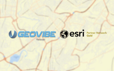
GEOVIBE Elevates Partnership with Esri to Gold Status
GEOVIBE’s advancement to Gold Partner status within the Esri Partner Network (EPN) is due to its unwavering commitment to delivering cutting-edge geospatial solutions
Armenia celebrates the International GIS Day 2024
On November 20, 2024 Armenia hosted its traditional International GIS Day. Starting in 2021, GEOVIBE together with its partners, hosts the celebrations of International GIS Day in Armenia
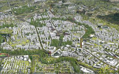
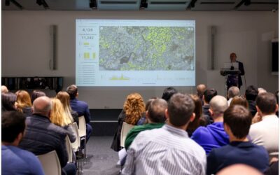
Yerevan Municipality Revolutionizes Urban Management with Enterprise GIS
The Yerevan Municipality, in collaboration with GEOVIBE, has successfully deployed an Enterprise GIS to revolutionize its urban planning management, optimize public work operations, and enhance environmental monitoring capabilities. With a population of approximately...
Support
We are here to help you with any question
We will be more than happy to reach out and support you