Unlocking the potential in every industry, everywhere

Analytics. Insights.
Answers you can trust
Our team are experts in data infrastructure, data science and geospatial analysis. We believe Artificial Intelligence (AI) and in particular deep learning holds great promise for organisations everywhere enabling knowledge to be created, distributed and acted upon faster than ever before.
Geospatial Strategy
A geospatial strategy defines how your organization will use GIS to achieve its goals. An effective geospatial strategy connects your business needs with the right people, processes, and technology to help you overcome challenges and improve results. With a geospatial strategy, you can use GIS to achieve location intelligence—the ability to understand why and where things happen—so that you can make better decisions and operate more efficiently.
Using a collaborative team approach, we facilitate structured workshops to bring subject-matter experts and Business departments together to define objectives and challenges for implementing GIS at an enterprise level.
RS & GeoAnalytics
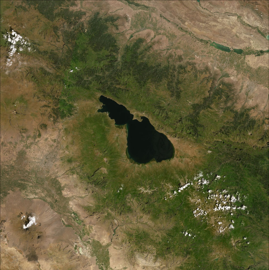
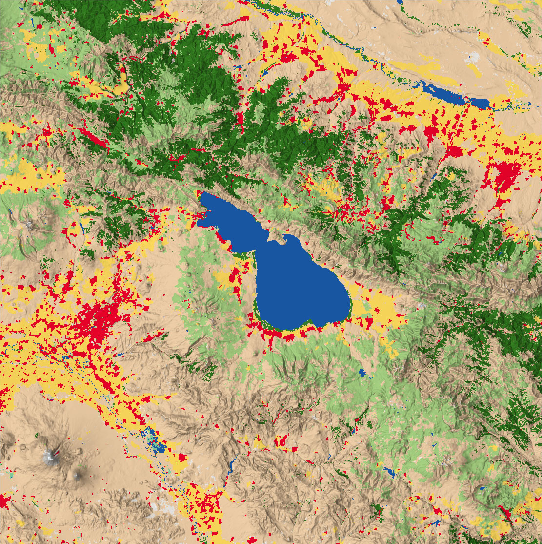
Remote Sensing & Spatial Analysis allow you to solve complex location-oriented problems and better understand where and what is occurring in your world. It goes beyond mere mapping to let you study the characteristics of places and the relationships between them.
GEOVIBE provides professional services to conduct vector and raster-based analysis to identify trends and patterns, change over time, suitability, and riskiness of locations.
GeoSolutions
GEOVIBE delivers well-tested, well-documented and high-performing software. We focus on simplicity of use and business knowledge to provide bespoke applications.
The services offered cover application design, development, prototyping, testing, and documentation. GEOVIBE has excellent skills in developing solutions utilizing leading-edge technologies. Our team of developers specializes in creating desktop as well as web applications using ERSI platform.
GeoAI
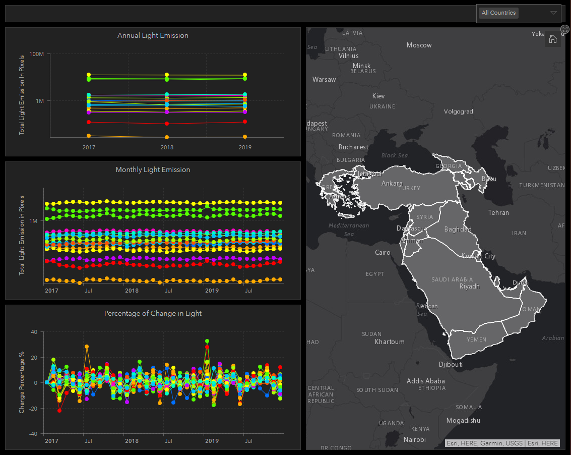
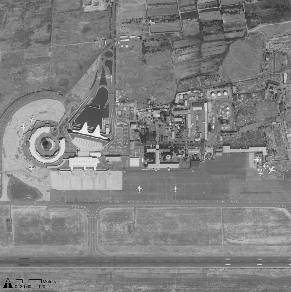
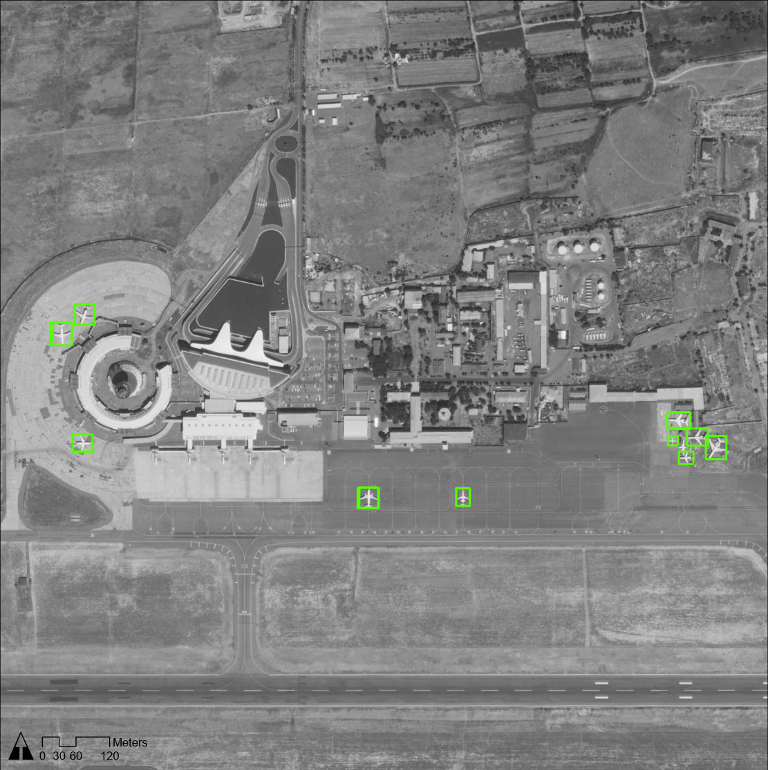
As humans, we are very good at detecting subtle patterns in complex data. But individually we are limited in how much data we can consider. Machine learning can operate at tempos and scales that greatly exceed human capabilities, detecting relationships in data that humans would be unlikely to notice.
GEOVIBE specializes in deep learning which is a field within machine learning that uses artificial neural networks to detect patterns in large data sets such as video or satellite imagery (computer vision). Our team develop tailored deep learning processing pipelines for large scale imagery data sets captured from satellites, airborne sensors, UAV (drones) and underwater (ROV) platforms.
GeoEnablement
GEOVIBE is specialized in assessing the knowledge gaps and staff needs of your organization. GEOVIBE is your right partner to support your Business with SMEs and domain specific consultants. GEOVIBE offers short term and long term onsite consultancy after conducting the assessment of your needs.
GEOVIBE offers customized courses focusing on the topics of your interest, Arabic, Armenian or English speakers and materials upon request, and using your data as training Data. GEOVIBE will help you prepare capacity building strategy over 2-5 years to ensure knowledge and staff growing in your organization synced with the maturity growing of your business.
GeoSchools
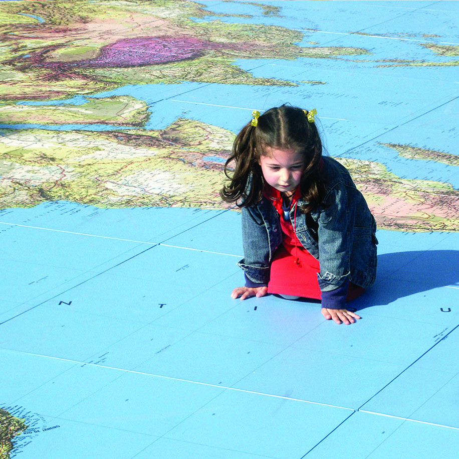
GIS in the hands of students helps them to understand content in a variety of disciplines, not only in geography, but in mathematics, science, history, language arts, chemistry, biology, civics, and many more. GIS is used as an inquiry-driven, problem-solving, standards-based set of tasks that incorporates fieldwork and provides career pathways that are increasingly in demand. It helps students think critically, use real data, and connects them to their community.
GEOVIBE has extensive experience in the latest techniques and technologies of using the GIS in the classroom. we have worked closely with teachers and curriculum experts to develop comprehensive programs for schools and education ministries to integrate the GIS as an educational tool in the classrooms.
Ask Us
For more information on how we can support you, we will be more than happy if you contact us.
