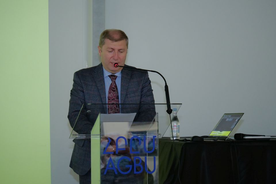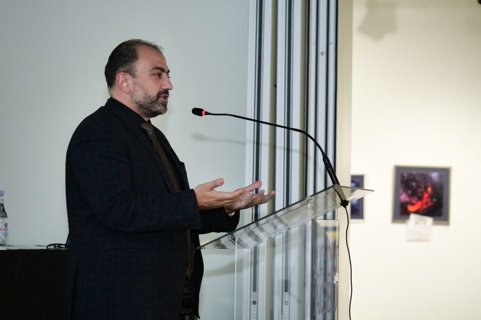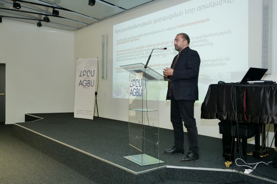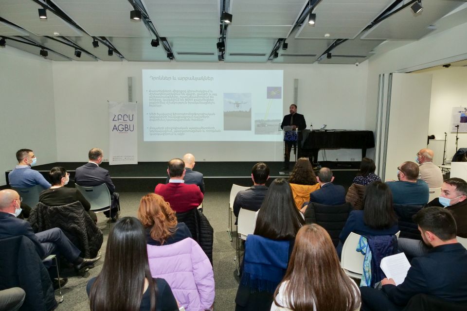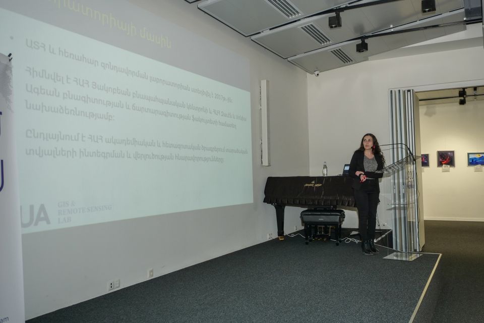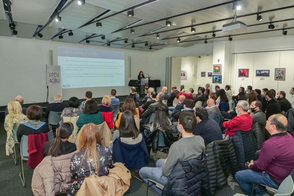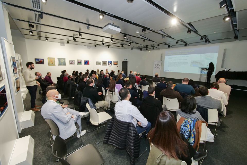
The international Geographical Information Systems (GIS) Day was celebrated on November 17, 2021, with the title “GIS for the Development of the Republic of Armenia) in Yerevan, Armenia.
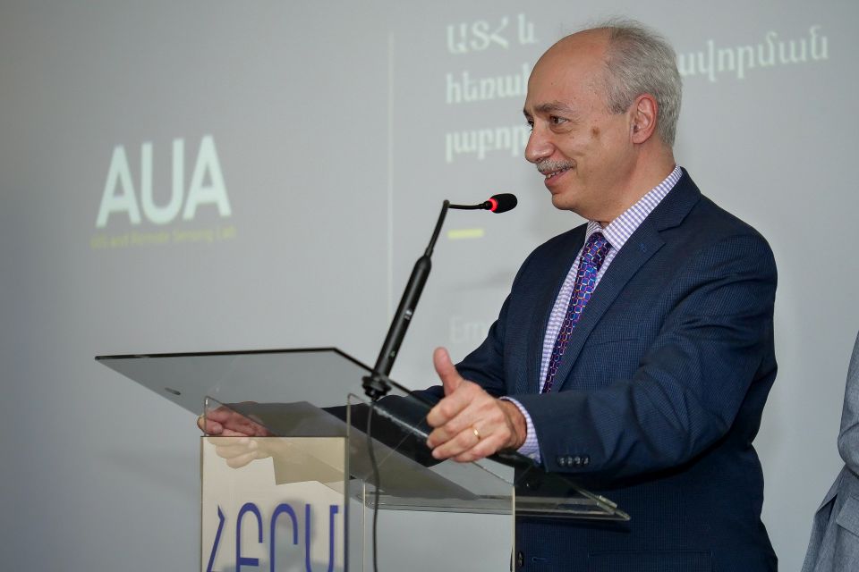
The event was organized by GEOVIBE, AGBU, AVC, ANAU, HMC, and GIS & Remote Sensing Lab.
The goal of the event was to explore and investigate the utilization of GIS in the Republic of Armenia for the development of education, agriculture, environmental, town planning, and health sectors.
GIS Day is an annual event celebrated internationally to highlight the importance of spatial thinking.
What is GIS?
GIS is a scientific framework for gathering, analyzing, and visualizing geographic data to help us make better decisions. On GIS Day, help others learn about geography and the real-world applications of GIS that are making a difference in our society. It’s a chance for you to share your accomplishments and inspire others to discover and use GIS. Even though celebrating may look a little different this year, sharing GIS is more important than ever.
For more information and inquiries, please contact us at info@geo-vibe.com