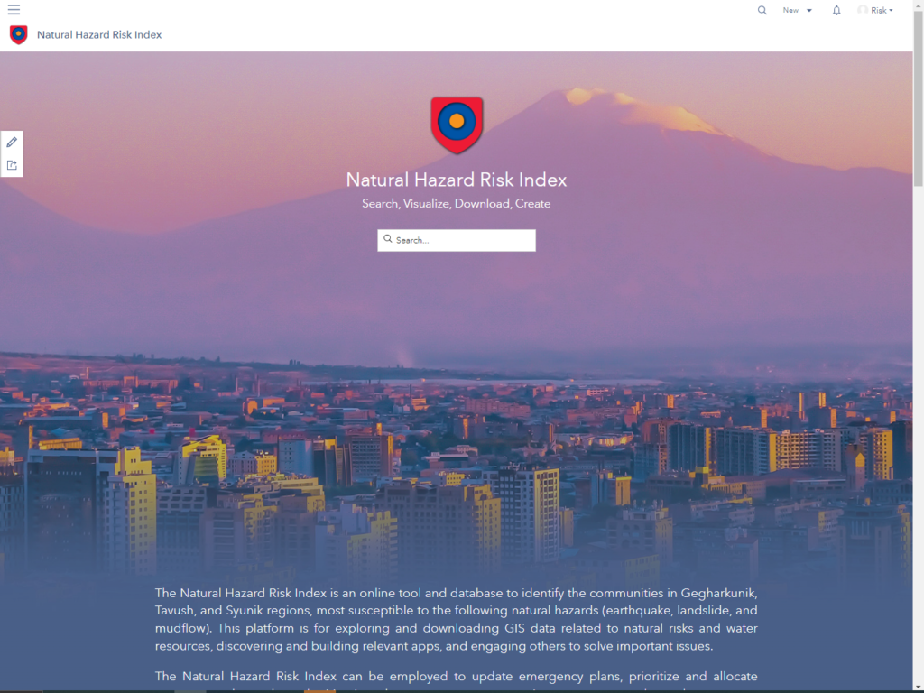
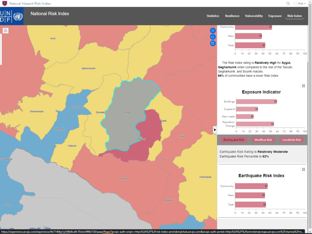
The United Nations Development Program (UNDP) initiated a unique pilot project, the Natural Risk Hazard Index, for the three regions (Tavush, Gegharkunik and Syunik) in the Republic of Armenia with the aim of supporting and optimizing the work and improving collaboration of emergency services in predicting, assessing, and preparing for possible natural disasters and adaptation to climate change.
Given Armenia’s high seismic risk and other natural hazards, the preparedness and coordinated efforts of emergency services are critical to the country’s social and economic safety.

The Challenge
Emergency services face many serious challenges, such as analyzing and managing significant amounts of data from various sources, as well as ensuring the accuracy and completeness of that data. Moreover, there is a need to develop the methodology and algorithms necessary to develop a Risk Index and identify communities at risks of natural hazards․ For the security of the country, having a unified information database and a methodology for calculating possible damage depending on the type, strength, and location of natural disasters is essential. This will allow for optimal and rapid deployment of available resources, as well as the prompt reinforcement of emergency services.

The Solution
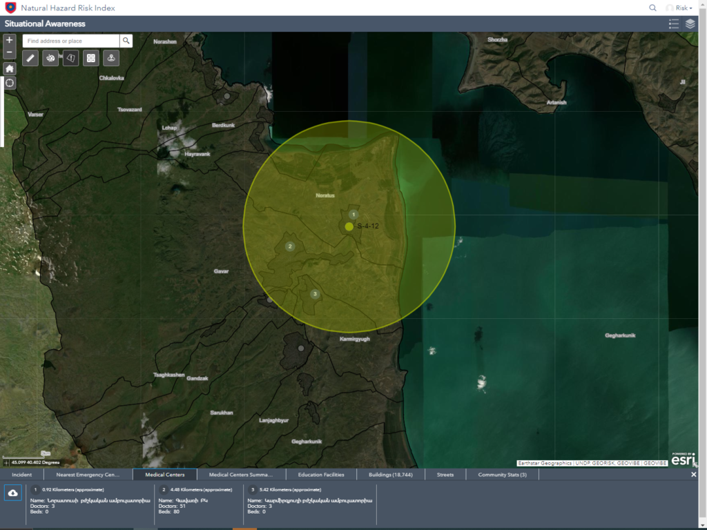
The UNDP has initiated and financed the creation of the Natural Hazard Risk Index (NHRI) project for the emergency services of the Republic of Armenia. GEOVIBE CJSC experts, in collaboration with GEORISK and official governmental bodies, have developed a comprehensive tool that integrates geospatial data analysis, risk assessment, and disaster management, based on Esri ArcGIS technologies. The tool combines various risk factors associated with natural disasters, such as earthquakes, floods, and landslides, into a single index. The NHRI facilitates the identification of areas that are most vulnerable to natural disasters and the assessment of potential impacts in a given area. Additionally, Geovibe has configured a cloud-based GeoHub platform to host all relevant data and reports, enabling the discovery, visualization, and sharing of data and reports with stakeholders.
Upon completion of the project, three separate training sessions were held for the emergency services staff. These sessions covered the use of NHRI, the visualization of new data, and the creation of interactive maps using ArcGIS Pro and integrated Applications (Survey123, StoryMAp and etc.), as well as hydrological and hydraulic analysis using ArcGIS Pro.

The Results
Emergency responders have recognized the potential and benefits of using NHRI to enhance their effectiveness, responsiveness, and delivery of new capabilities and services to stakeholders. NHRI enables them to manage a large amount of operational information and respond rapidly to disasters while also providing quick access to required data.
