
In the context of modern agriculture, innovative solutions are needed to tackle challenges such as increasing global population, climate change uncertainties, soil degradation, and water scarcity. In Armenia, leveraging Geographic Information Systems (GIS) and Remote Sensing (RS) becomes crucial due to limited and unevenly distributed resources. Integrating GIS and RS enables well-informed decisions on land use, crop selection, and resource management, leading to enhanced productivity and sustainability. Precision agriculture techniques can be implemented through data-driven insights, optimizing input usage and increasing efficiency.
Challenge:
In Armenia, a country facing unique agricultural challenges, the significance of leveraging GIS and RS becomes even more pronounced. The optimization of resource utilization is paramount in a region where natural resources, particularly fertile land, are limited and unevenly distributed. The mountainous terrain and variable climate further complicate the implementation of uniform and efficient agricultural practices.
Addressing these challenges Armenia’s National Agrarian University (ANAU) and Geovibe LLC collaborated to address the demand for advanced knowledge and skills in utilizing cutting-edge technologies for precise agricultural practices. With the support of the “Enhancement of Precision Agriculture in Armenia” (EU-GAIA) project, the goal was to equip professionals with the latest tools and techniques related to Earth Observation Systems (EOS) and GIS Applications in Precision Agriculture. The course aimed to enhance participants’ capabilities in spatial data management, analysis, and visualization for tackling agricultural challenges through remote sensing and GIS technologies.

Solution:
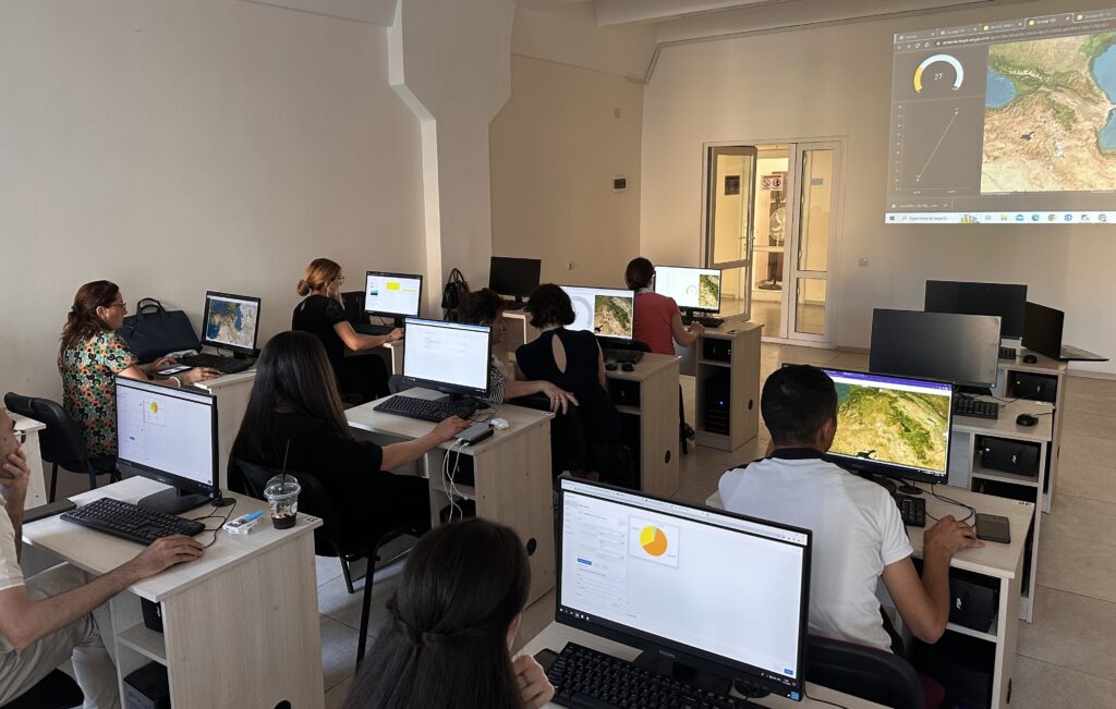
To meet this challenge, a 4-week Advanced Training Course on “Geographic Information Systems (GIS) and Remote Sensing in Green Agriculture” was conducted. The course covered essential topics, including GIS basics with data structure and types, creating smart questionnaires for fieldwork (Survey 123), building information panels for data visualization and analysis (ArcGIS Dashboard), and presenting results through ArcGIS Story Map.
Participants delved into spatial analysis to identify agricultural problems, and learned about satellites, their application, and image acquisition methods. They practiced remote sensing using satellite photos and calculating the Normalized Difference Vegetation Index and The Soil-Adjusted Vegetation Index. The comprehensive curriculum also included mapping and classifying vegetation using satellite and drone images.
Result:
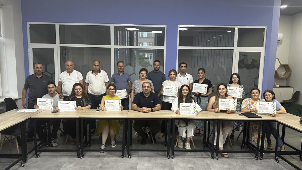
The course attracted 20 participants from various backgrounds, including representatives from ANAU and other universities, precision agriculture experts, junior specialists, and students. All participants successfully completed the training, and on the final day, ANAU Rector Vardan Urutyan awarded certificates to acknowledge their achievement.
The course was facilitated by expert trainers in RS and GIS both from ANAU and Geovibe CJSC. Participants praised the effectiveness of the course, practical training approach, and accessible materials. They gained valuable knowledge in Earth Observation and remote sensing, along with proficient skills in using spatial data management software for various applications in green agriculture.
Moreover, the course facilitated the exchange of experiences among participants from different fields, fostering a robust professional network. For those with non-professional backgrounds, the training offered valuable insights into the wide range of possibilities offered by GIS and remote sensing software, which are increasingly vital in the modern world.
Looking ahead, the success of this training has led to the announcement of the 2nd stage of the course, scheduled for the fall. Additionally, a course on agro-drones, catering to the 15-year-old age group, will be introduced as part of the Armenia’s Workforce Development Program (AWDA) in collaboration with ANAU partners.