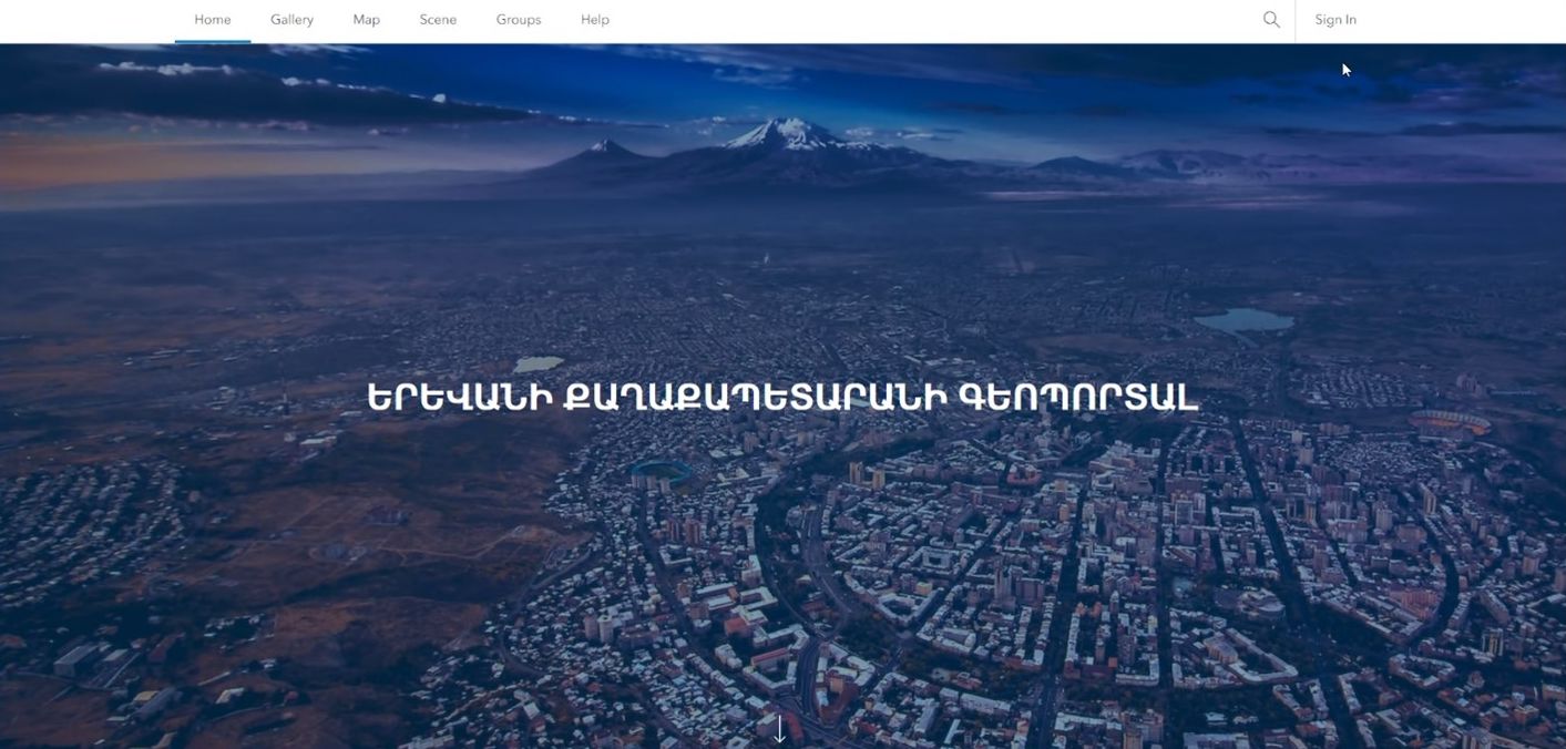
The Yerevan Municipality, in collaboration with GEOVIBE, has successfully deployed an Enterprise GIS to revolutionize its urban planning management, optimize public work operations, and enhance environmental monitoring capabilities. With a population of approximately 1.1 million, Yerevan is taking significant strides in leveraging cutting-edge geospatial technology to address critical urban challenges.

Geographic Information Systems (GIS) like ArcGIS Enterprise empower municipalities by enabling the efficient management, analysis, and visualization of spatial data within a unified framework. For Yerevan Municipality, GIS not only enhances urban planning and infrastructure management but also integrates various systems—such as land management, public engagement, Air Quality, transportation, and public works—into a single platform. This integration provides a holistic view of the city’s operations. It allows for more advanced analysis, leading to better decision-making, optimized resource allocation, and improved public services, ultimately fostering sustainable urban development.
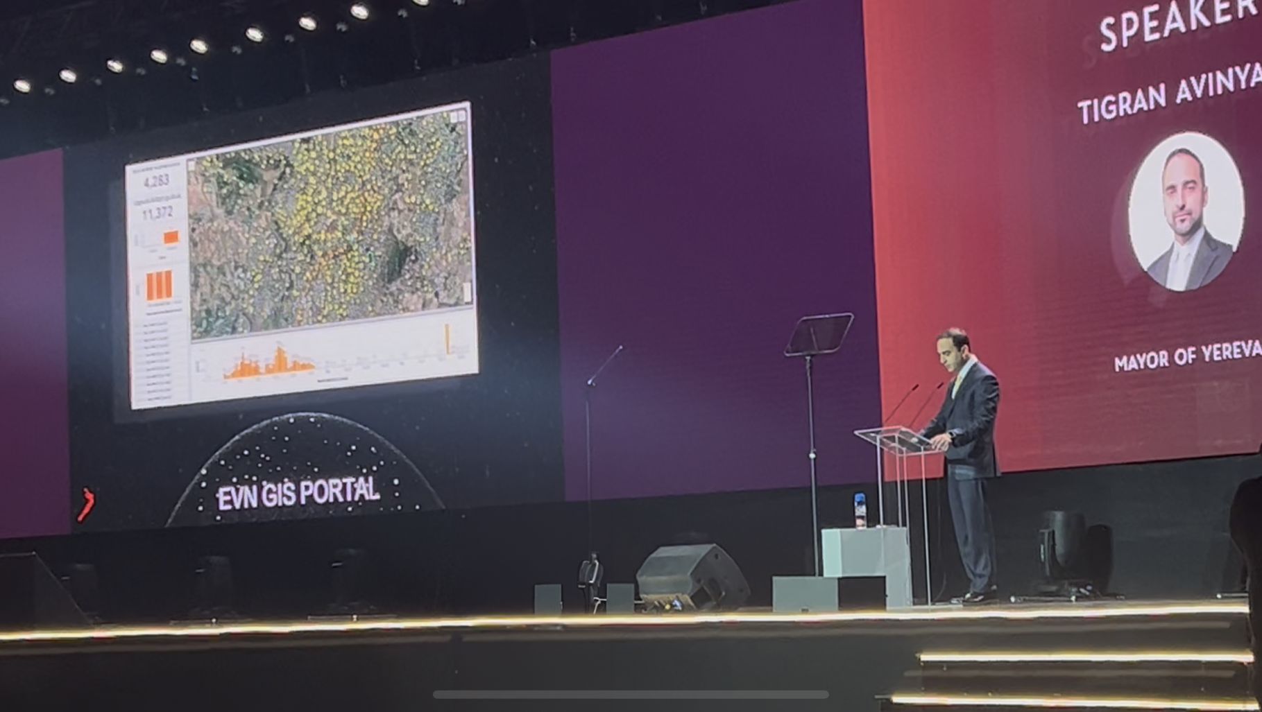
Yerevan Mayor Tigran Avinyan, speaking at the World Congress on Innovation & Technology on October 6, 2024, remarked, ‘The city is a single organism, with interconnected business processes, by having data from these processes in one platform (GIS) we create a digital twin of the city, this will not only improve planning and management of the city’s economy by combining interconnected processes with big data, but also enable us to simulate scenarios, make projections and improve the lives of our citizens in Yerevan.’

Key Areas of Impact:
1. Urban Planning:
Yerevan Municipality’s urban planning efforts were hindered by fragmented data sources, outdated visualization methods, and limited integration with the Cadaster system, making it challenging to manage land use, zoning regulations, and city development projects effectively. The implementation of GIS technology transformed these processes by fully integrating with the Cadaster platform and enhancing the system with advanced features. This integration enabled seamless data management and introduced 3D modeling capabilities, allowing planners to visualize the spatial layout of the city in detail. With GIS, urban planners can now assess the impact of proposed developments, make informed decisions, and ensure more efficient and sustainable urban growth for the city.

2. Transportation
Yerevan Municipality faced challenges in comprehensively understanding and optimizing its public transportation system due to the lack of effective visualization and spatial analysis tools. By implementing GIS technology, the municipality was able to map the entire transportation network, enabling detailed visualization of routes and service coverage. GIS facilitated service gap analysis and provided insights into the number of residents who could benefit from the transportation services. Additionally, it offered advanced network analysis tools to address routing challenges and evaluate the time required to reach various destinations using public transportation. These capabilities have significantly enhanced the municipality’s ability to plan and optimize its transportation system, ensuring more efficient and accessible services for its citizens.

3. Constituent Engagement
The Active Citizen platform, a cornerstone of Yerevan Municipality’s public engagement strategy, is expertly designed to facilitate citizen participation by collecting complaints and requests for support. The integration of GIS with Active Citizen has transformed the way these interactions are managed. GIS technology enables the visualization of ongoing requests on interactive maps, allowing city officials to track and monitor the progress of support activities in real-time. This system also helps identify hotspots of requests and assess overall performance through comprehensive dashboards, ensuring that resources are allocated efficiently and that citizen needs are addressed promptly. By enhancing transparency and responsiveness, the platform ensures that the city’s development aligns closely with the needs and concerns of its residents.

4. Environmental Sustainability
Air Pollution Monitoring:
Yerevan Municipality’s efforts to monitor and manage air quality were previously limited by the lack of real-time data integration and the inability to identify pollution sources effectively. The introduction of GIS technology provided a transformative solution by integrating real-time sensor data with information on ongoing construction projects. This integration allowed the municipality to correlate air quality levels with nearby construction activities, identifying if specific sites were contributing to deteriorating air quality. By bringing together data from two different systems into a single platform, GIS provided valuable insights that enabled the municipality to address the root causes of pollution and implement targeted solutions to improve air quality in the city.

Waste Management:
Yerevan Municipality faced challenges in efficiently managing waste collection and recycling efforts due to inadequate spatial data and underutilized infrastructure. By leveraging the capabilities of the enterprise GIS and its field applications, the municipality staff quickly configured mobile survey forms to collect detailed information on the locations of over 4,100 recycle bins across the city. This data collection process was monitored in real-time through interactive dashboards, allowing for immediate oversight and quality control. The collected data enabled the municipality to optimize the distribution of recycle bins and enhance the efficiency of garbage truck routes, leading to more effective and sustainable waste management practices throughout the city.

Capacity Building and Training
To ensure the success of this ambitious project, the Municipality invested in extensive training for its employees. Daily training sessions, conducted by GeoVibe representatives, equipped staff with the necessary skills to seamlessly integrate GIS and Esri platforms into their daily operations.

A Sustainable Future for Yerevan
The successful implementation of enterprise GIS by Yerevan Municipality through its innovation and technology arm (Technology Management Center of Yerevan City – TMCYC), in collaboration with GEOVIBE, marks a significant milestone in the city’s journey toward sustainable urban development. By integrating advanced geospatial technology across various sectors, including urban planning, transportation, constituent engagement, environmental monitoring, and waste management, the municipality has not only optimized its operations but also enhanced its ability to make data-driven decisions. These improvements have led to more efficient resource allocation, improved public services, and a stronger connection between the municipality and its citizens. As Yerevan continues to grow and evolve, the GIS platform will play a crucial role in ensuring that the city remains vibrant, sustainable, and responsive to the needs of its residents for generations to come.
