
How GEOVIBE and SCZH helped build the scientific and geospatial foundation for protecting Yerevan’s Hrazdan Gorge
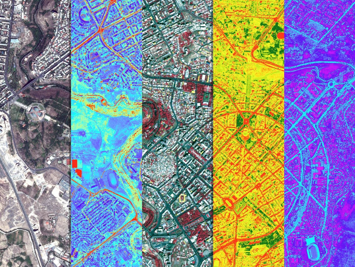
A landmark conservation decision has given one of Yerevan’s most distinctive natural landscapes a new future. On 13 October 2026, the Yerevan Council of Elders designated 236.26 hectares of the Hrazdan Gorge as a locally significant specially protected natural area in the “protected landscape” category.
For GEOVIBE and the Scientific Center of Zoology and Hydroecology of the National Academy of Sciences of the Republic of Armenia (SCZH), the decision is a milestone in a journey that began years earlier, with scientists in the field, geospatial specialists analyzing the landscape, and a shared ambition to bring evidence into environmental decision-making.
Protected hectares designated
A living landscape worth understanding
The Hrazdan Gorge is more than a green corridor through the capital. Its river, cliffs, vegetation, wildlife and cultural sites form an interconnected landscape under pressure from urban development and human activity. Protecting it required more than drawing a line on a map; it required understanding what makes the gorge valuable, and where it is vulnerable.
Commissioned by Yerevan Municipality, the joint 2023–2024 study brought together SCZH’s ecological and hydroecological expertise with GEOVIBE’s geospatial technologies. SCZH carried out biodiversity investigations spanning terrestrial and aquatic flora and fauna, including rare and Red Book species, invasive species, and pressures on habitats and ecosystems.
Turning field observations into actionable geography
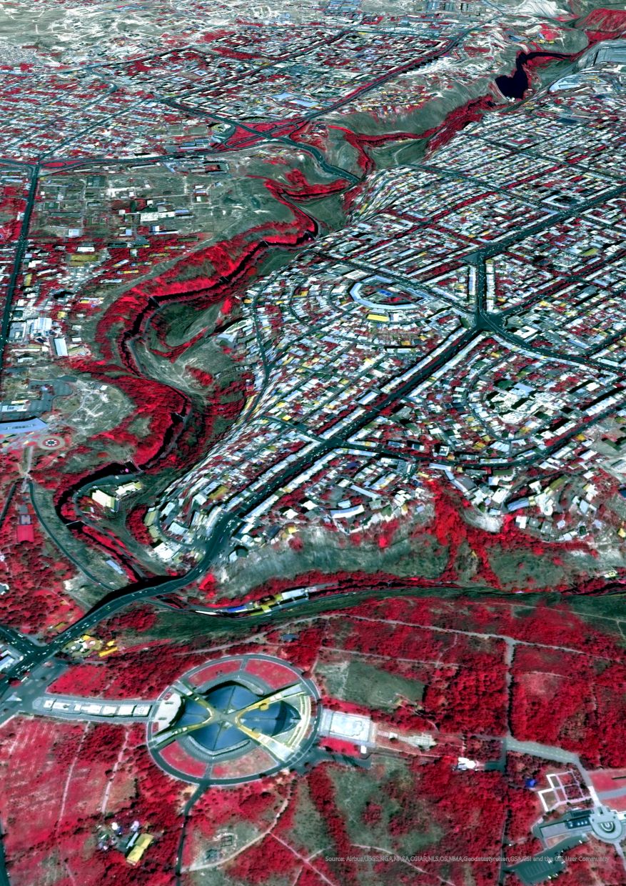
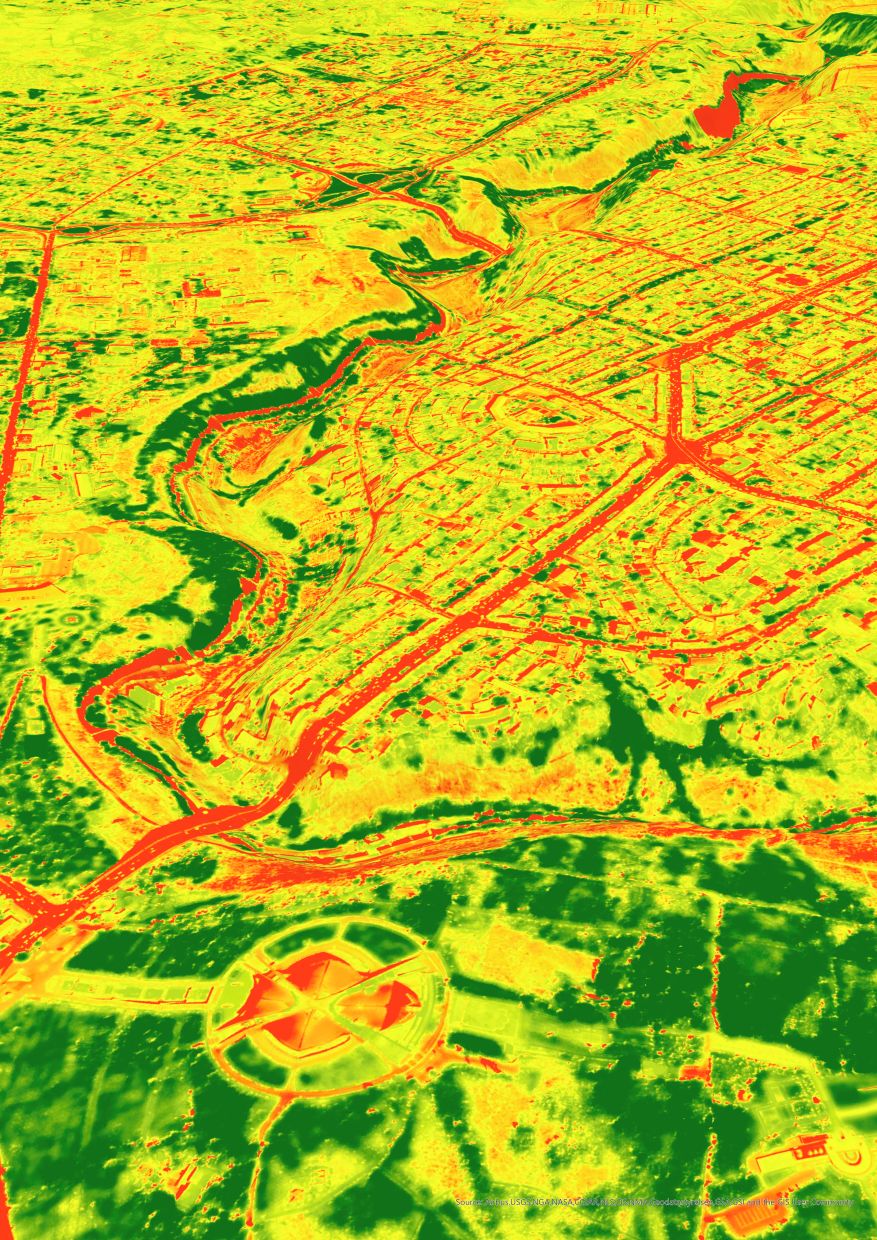
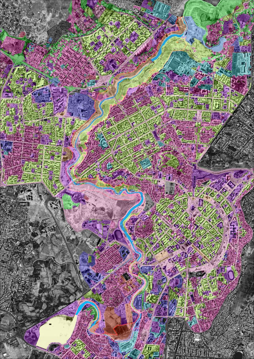
GEOVIBE integrated ecological findings with cadastral and land-use data, cultural heritage information, and high-resolution WorldView-2 satellite imagery. AI-assisted land-cover classification and thematic GIS mapping helped the teams interpret complex patterns across the gorge and evaluate potential conservation priorities in their geographic context.
The result was a shared, map-based evidence base supporting the municipality’s planning process, including joint recommendations for a protected-area boundary. Yerevan Municipality subsequently used the research as a basis for advancing protection of the gorge.
Landuse
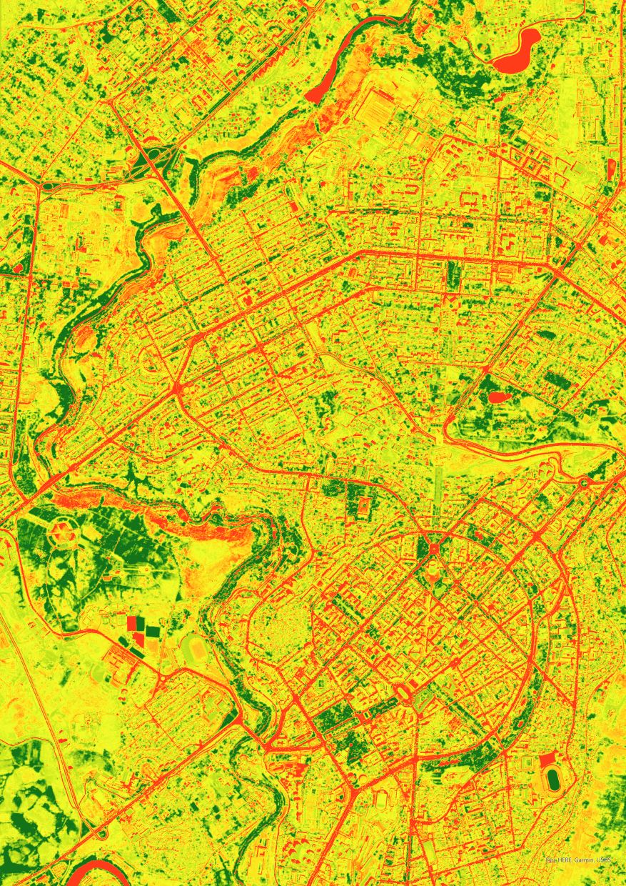
Vegetation
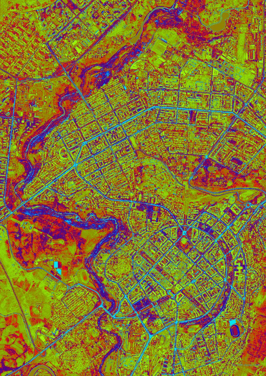
Biomass
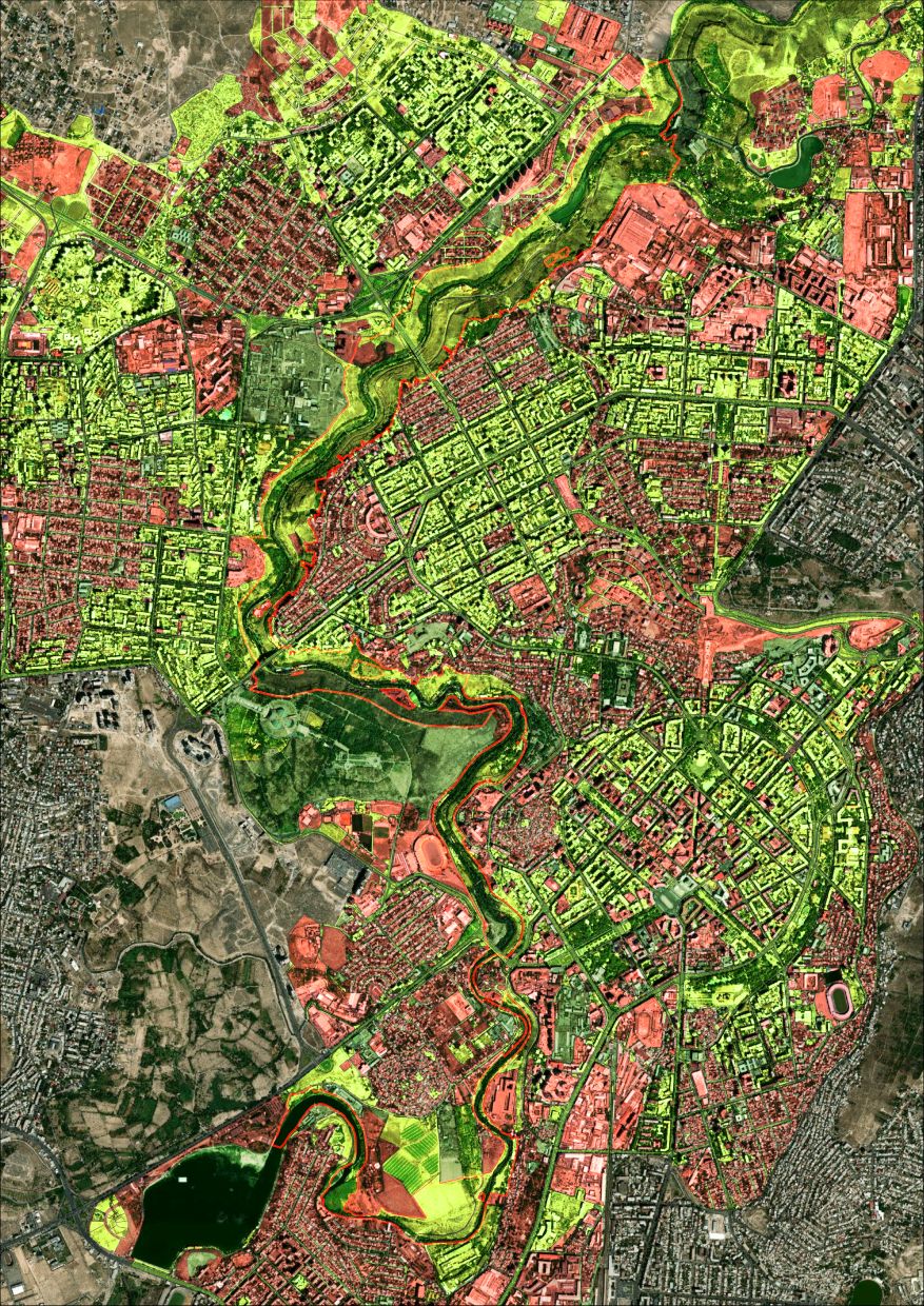
Ownership
Nature, heritage and public access considered together
Conservation was only one part of the study. The research also examined historical and archaeological sites, caves, monuments and other cultural assets, alongside recreational resources and opportunities for ecotourism. The goal was to help envision a gorge that is both better protected and more meaningfully accessible to Yerevan’s residents.
“connect with nature while minimizing the impact on biodiversity and ecosystem processes”
Sirarpi Haykazyan, Head of Yerevan City Hall’s Environmental Protection Department — as reported by Armenpress, 13 October 2026
A significant step, and a longer journey ahead
The October 2026 decision approved the protected landscape designation, its area and boundary documentation, and interim management measures. It represents an important step toward safeguarding the gorge’s ecological and historical value while future management arrangements take shape.
For GEOVIBE, this is a powerful example of what happens when scientific research and geospatial intelligence are brought into public policy. Together with SCZH and Yerevan Municipality, we are proud to have contributed the evidence and geographic insight that supported this important conservation achievement.